What’s in a name


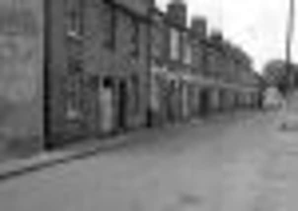
They were called Prosperous Row and were obviously extremely desirable in their heyday.
They were among the many houses demolished in the early 1970s to provide a car park for new shops including Sainsbury’s, which was in the building now occupied by Wilkinson’s and Farm Foods.
Advertisement
Hide AdAdvertisement
Hide AdAn early map of the town shows that the first three houses of Prosperous Row had already been built by 1880, and they eventually became part of the road called Chapel Walk.
This extended from today’s entrance to the car park in Bull Pond Lane and continued in a straight line to the gap between the Methodist Church and what is now the entrance to Wilkinson’s.
Dunstable and District Local History Society member Omer Roucoux, who carried out considerable research into Dunstable’s lost streets, wrote that the Chapel Walk route seems to have once been called Tile Kiln Close.
This changed its name after a Baptist Chapel was built at its upper end in 1708.
Advertisement
Hide AdAdvertisement
Hide AdThe chapel was so badly damaged during a violent storm in 1849 that it had to be demolished and replaced on the same site by the present building.
Today, in the middle of the car park, it’s the area’s solitary reminder of old Dunstable.
The photo of Prosperous Row was taken by Ernie Hawes, of Meadway, and has been preserved by local historian Vivienne Evans.
> Yesteryear is compiled by John Buckledee, chairman of Dunstable and District Local History Society