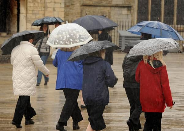
Weather warning for heavy rain and thunder in Bedfordshire issued by Met Office


The Met Office said: “there is an increasing risk of heavy rain, with thunder possible, developing over southern England on Tuesday afternoon before spreading northwards during the evening and overnight.
“Many places will miss the worst of the rain, but there is a low likelihood of flooding of homes and businesses as well as disruption to transport.”
Advertisement
Hide AdAdvertisement
Hide AdThe warning is in force for between 4pm on Tuesday June 27 and 9am tomorrow, Wednesday.
The Met office’s chief forecaster added: “There is much uncertainty with the forecast for this period and some places could even stay dry. However, heavy and thundery rain could produce 20 to 30 mm rain in an hour and very locally 40 to 60 mm in 6 to 12 hours.
“Should this occur then some flooding is possible, especially across urban areas. Overnight rain should gradually start to ease and by early Wednesday morning may be confined to parts of the East Midlands and East Anglia.”